By Katherine Cross*
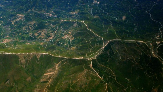
Satellites have a long history, with the American writer, Edward Everett Hale, writing speculative fiction containing the first known depiction of an artificial satellite to measure longitude in The Brick Moon, back in 1869. During the intensity of World War II, the first space-based picture of Earth was taken, demonstrating the potential for space-based cameras to help us monitor our changing world. Soon after, space became the battlefield where the US and the Soviet Union tested their supremacy during the Cold War, giving way to, amongst others, the first commercial communications satellite. Today, from atmospheric satellites that can predict weather conditions to remote sensing satellites that monitor our environment’s resources from afar, there’s little on Earth’s surface that escapes from satellites’ sight. How can we apply satellite information to improve the quality of our waters and optimise decision making in water supply services?
Our freshwater resources are severely affected by climate change, urbanisation, population growth, and competing demands from other uses, such as ecosystem protection, agriculture, energy production and recreation. Water utilities’ treatment operations, costs, and the resulting services to consumers are heavily determined by both the quantity and quality of water upstream in the catchments and reservoirs.
Changes in climate are resulting in increased frequency and intensity of precipitation, topping up reservoirs, which can result in excess water runoff. This may lead to flooding and even destruction of the water stored, compromising water supplies.
Increased urbanisation also aggravates the quality of water bodies. The expansion of paved areas and increased urban runoff are major sources of water pollution in urban areas. Another big threat to water quality comes from diffuse pollution caused by intensive farming and its associated use of pesticides and fertilisers to feed an increasing population worldwide.
The combination of increased nutrient loading in water bodies and changes in temperature can result in algal blooms which can impact the storage load of reservoirs. Recurrent bloom episodes have significant socio-economic and environmental impacts. Algal blooms are a problem because they can produce toxins which can contaminate sources waters (e.g. cyanobacteria produces a group of harmful algal toxins known as microcystins), as well as the drinking water treatment facilities that the source waters supply. In the European Union, for example, fish mortality or diseases provoked by the consumption of such toxins are but a few of the economic impacts. Water treatment plants face a difficult task of not only removing the toxins, but doing so in a safe and cost-effective way.
 Satellite remote sensing techniques to assess changes in water quality
These increasing pressures pose additional challenges to water utilities, many of which already struggle to secure a reliable supply of safe and clean water. Having access to real-time and forecasted information about the conditions of water quality and quantity is essential to proactively manage upstream risks, improve responses to water incidents, or improve their operational efficiency and quality of their services.
SPACE-O integrates Earth Observations and in-situ monitoring with advanced hydrological, water quality models and ICT tools, into a powerful decision support system that will generate up-to-the-minute data, as well as forecasting of water flows and water quality data in reservoirs. This knowledge about the conditions in the ground, now and in the near future, will help optimise water treatment plant operations, and increase the responsiveness of water managers against incidences, such as algal blooms, droughts and floods.
“High resolution pictures from earth observation could assist our water company in knowing when it’s the best time to take water from the river when the water stored during winter isn’t enough to supply for the summer months, highly reducing our maintenance costs,” said Ingrid Keupers, Technical Director of De Watergroep, during one of the first project consultation meetings with water utility operators.
Ensuring uptake of the resulting products is indeed crucial to the philosophy of SPACE-O. The products are centered around a decision support system (DSS) which aims to make use of satellite date and other technical tools to help water operators make informed decisions around issues such as water quality in reservoirs. From the start, a series of consultations with utility operators has been undertaken to cater the products to users’ needs. This creates ownership and interest in application of the relevant tools to their operations. Utilities that are interested to learn more can contact info@space-o.eu, and follow all the latest developments on the project’s website and social media channels.


